The River Clyst begins its journey at Clyst William, 6 kilometres south east of Cullompton, and enters the sea via the estuary at Topsham. The word “clyst” is thought to be derived from the Celtic word for “clear stream”. Downstream of Broadclyst, the river spills out into a broad floodplain.
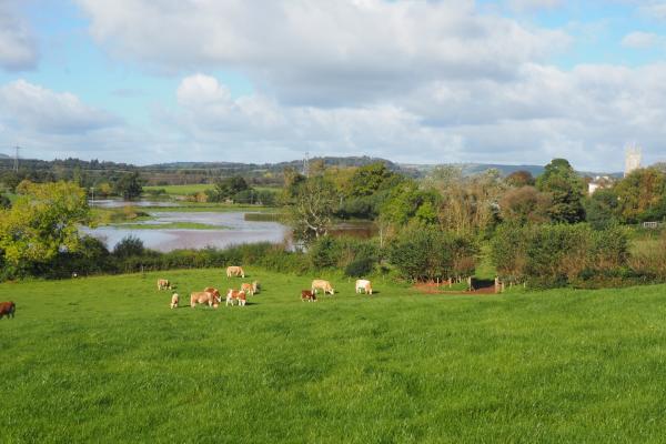
On their journey from source to sea, the Clyst and its tributaries flow through old catch-meadow systems and wet meadows, under historic bridges and causeways, through picturesque villages, past designed parklands and historic houses, alongside ancient field systems and traditional orchards, and through grazing marshes, wet woodlands and tidal habitats.
Climate change
Natural Flood Management (NFM) seeks to work with nature to address the increased flood risk brought about by climate change (exacerbated by associated sea level rise). NFM projects have taken place on the Killerton estate, and we have another underway at Clyst Honiton. More information here. NFM techniques aim to reduce soil loss and associated pollution, as well as slowing water flow.